
The Waskahegan Trail Association has published its trail guide on Microsoft’s soon-to-be unsupported Publisher software. The trail guide serves members by detailing trails and historical context, but access and distribution methods need reconsideration. Future plans include surveys and technical evaluations to adapt the next edition effectively.
- Restricting Idiot Access
- Where is the Trail – Where is the Software?
- Who Can (Wants to) Buy a Trail Guide?
- Questioning the Trail Guide
- Questioning A Proposed Trail (Guide) Survey
- Questioning Where to From Here?
Who in their right mind would want to go to the bother of writing and publishing a book only so the general public cannot buy it?
Restricting Idiot Access
This is the conundrum of the Waskahegan Trail Association (WTA) and the reason I rejoined their board this year. WTA maintains Alberta’s longest trail system that runs in and around Edmonton. Portions of the trail are on public land while large sections exist because of the generosity of private landowners.
The guide book is sold only to members to ensure proper use of the trail. To quote WTA: “… because we think that people who want to use the Trail should be funneled into our association to give us a chance to indoctrinate them in the partnership-in-faith we have with you. If you let friends use the book, please hold your own indoctrination with them.“
Without these precautions, the trail would soon be overrun with ATVs and idiots. While idiots represent a small percentage of the potential users, they cause a disproportionate amount of damage in the blink of an eye.
Where is the Trail – Where is the Software?
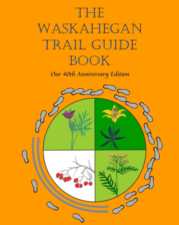
For the price of membership, WTA’ers can then purchase a trail guide. Twenty years ago, I worked on the 7th edition (the cover is the above image), and the 8th-edition is nearing the end of its life. Both editions used Microsoft Publisher for layout and design and this software is being de-supported in the Fall of 2026. Only individuals having a locally installed copy of Publisher can update the trail guide.
Unfortunately, it is not clear why Microsoft is discontinuing support for Publisher. Just as unclear is an alternative that is both low cost (e.g. free with Office 365) and does not require years of training to use it. Adobe InDesign is touted as an alternative but at a retail cost of nearly $400/user/year, with a 50% nonprofit discount is available (through Techsoup). It is an incredibly powerful tool but with great power comes a not-so-great user experience (to paraphrase Spiderman’s uncle).
Who Can (Wants to) Buy a Trail Guide?
Beyond a description of where the trail is, the guide is also full of historical anecdotes, natural history tidbits, and historical details. This rounds out the experience for the WTA Member whether in the field or reading the guide at home.
Officially, the trail guide is only available from WTA but it can be downloaded from a number of ‘bootleg’ sites or used copies can be purchased online as well. Thus, using a paper copy to prevent unwanted distribution is only partially effective.
Questioning the Trail Guide
Setting aside the person who has a bootleg copy of the guide, how does the typical WTA member use the guide? Is it water stained from being taken into the field, pristine from being bought but never read, or only ever referenced when the member decides to join a club hike?
How the guide is used is a highly relevant question for the 9th edition. For example, is it better to move to an online version entirely and if so, how do you manage access? If a printed version, how do you replace MS Publisher as the desktop publishing technology? Are sales and interest in the guide book sufficient to make any of these efforts worthwhile in the first place? What are the volunteer skills and costs for all of these options?
Questioning A Proposed Trail (Guide) Survey
Answers to the above questions (and others) can potentially be derived from analysis, simple survey, and focus groups. The following questions are my first stab at such a thing. In addition to an online questionnaire, a town hall meeting with feedback may be worthwhile.
- Overall Sales:
- How many trail guides are sold per year
- What is the uptake of the guide for new members
- How many members don’t renew membership after buying the guide
- How is the Trail Guide Used:
- How often is the trail guide referenced by a member
- What information do members look for while reaching for the guide
- Does the background information add to the value of the guide or would simple internet links suffice
- What information was expected by the WTA Member but not found in the guide
- How often is the guide taken into the field while on club or solo hikes
- Container versus Content
- Does the delivery medium (paper versus electronic) matter to the current membership
- What are the incremental cost/savings of staying on paper versus moving to electronic
- If a digital version is created, can a paper copy also be created?
- How does security and restricting access compare between these two methods
- What ‘container’ methods are on the horizon and are worth considering
- A rough and ready sample of a page-based Trail Guide.
- How is the Trail Guide Sold
- Physical Guide: should WTA get out of the logistics business of distribution:
- Outsource distribution to an Edmonton based retailer with sales restrictions
- Online ordering through services such as Amazon Books
- Virtual Guide: how could access to the online guide be restricted
- Physical Guide: should WTA get out of the logistics business of distribution:
- Other Features
- If the trail guide was linked to geographic information (GIS, e.g. online maps), is this a feature of value to members
- Should the revised trail guide support real time reporting on trail conditions, how would such information be managed
- How much integration should there be between the trail guide and other tools such as social medial, GIS, etc.
- Should bona fide members be allowed to update the trail guide in a wiki’esque fashion
- What is the requirement for cell coverage vis-a-vis an online version.
- Landowner Considerations
- What features or access granted to members should also be granted to landowners
- What additional features should they have, for example, telling family history and stories relative to the trail section
- How should the trail guide support changes in landownership
Questioning Where to From Here?
The above is meant to be thematic rather than designing the end survey. Nevertheless, the next steps are proposed:
- August 2025: Finalize milestones and next steps
- September 2025:
- Finalize and release a WTA members survey
- Analyze past guide book data such as purchases
- Initiate a technical survey of potential replacements for MS Publisher for printed guides
- Initiate a technical survey of online replacements for a digital only guide
- Plan, run, and debrief online focus groups with WTA Members
- October 2025:
- Analyze the above information and prepare draft recommendation
- WTA Board workshop to review recommendations and agree on next steps
- Confirm costs, technical feasibility, and other factors for recommended approach
- November 2025: WTA Board approves the WTA Guide Book, 9th ed., Next Steps
- January+ 2026: Start work on 9th edition per recommendations
