The journey to cycle through Japan’s Setouchi area began with a casual suggestion among friends. This resulted in traveling and multiple days of reconn. The cycling group is going to have a fantastic time exploring the scenic Shimanami Kaido routes and environ.
- Route Description from the CCCTS.org Website
- Setting the Stage for Setouchi
- I Can See for Miles and Miles and…
- Say Hello to my (not so) Little Friend
- Helgas and Car Elevators
- Reconning With Helga
- Photo Gallery
- Notes and Further Reading
A casual suggestion to two friends is how it started. They were lamenting the challenges of cycling in the Setouchi area while moving luggage from one hotel to another. My casual comments was, “Why don’t I drive the van?”. Fast forward 14 months, and here we are.
Route Description from the CCCTS.org Website
The coastal area of the Setouchi is one of Japan’s major tourist destinations and there’s no better way to enjoy it than by bike. It is a virtual utopia for cyclists. One of cyclists’ many touring options is the 70-kilometer Shimanami Kaido highway linking the city of Onomichi and Imabari. We will also cycle the Kamijima Islands, Kakishima Kaido and Tobishima Kaido, three other popular chains of islands for cyclists.
Setting the Stage for Setouchi
The first five days were preparatory. Getting to Japan, getting the van, and getting to the start point. Oh, and getting off the ground in Edmonton.
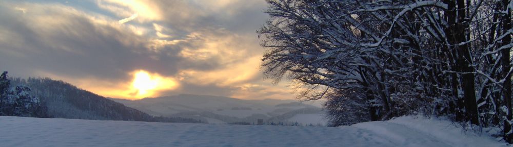
An early spring snow storm delayed the flight out to Vancouver (YVR) and that was a tight connection already. The delay meant a mad dash across YVR. Kudos to the baggage handling staff on keeping up with this mad dash. There were 10 of us connecting to the same flight (but not in our group); I believe all 10 had a happy baggage ending.

Whiteout on the runway of YEG, cause of take off delay, 2026-03-25, P. Potter. 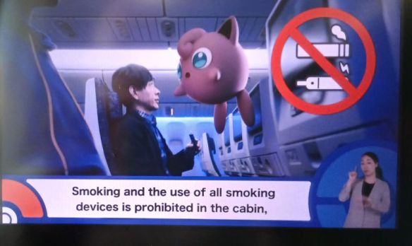
Pokemon themed safety video on the All Nippon Airways flight, 2026-03-25. 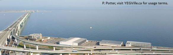
Looking west from the 54th floor of the hotel towards the Kansai Airport in Osaka, 2026-03-26, P. Potter. 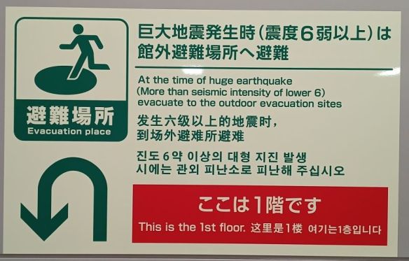
Evacuation sign in the Kansai airport, 2026-03-26.
I Can See for Miles and Miles and…
The view from 54 story hotel in Osaka was stunning. One can admire the engineering of creating an artificial island airport in the middle of the bay. Nearby is Budget Rent a Car. They and Japanese rental broker, Tabirai found us one of the few Toyota HIEC vans available for such an extended rental.
Prior to picking up the van, we rented a mini-version and tooled around suburban Osaka for an hour. The lion share of “F-Bombs” were reserved for mistaking the windshield wiper arm (left side of the steering wheel) for the turn signal (right side).
Say Hello to my (not so) Little Friend
While testing was done in an adorable small car, the real thing was “Helga”. Not a beauty, not powerful, but definitely voluminous. Helga, Danielle, and I set off to Fukuyama on March 28. I mean with modern GPS technology, how hard can it be?
Apparently HIEC’s are equipped with state of the art navigation technology for 2005. Danielle could get her Bluetooth to connect but no such luck for me and USB cables were apparently not a thing in 2005. The GPS instructions were in English, sort of, as free Japanese character language learning is a benefit thrown in for free.
Traveling the road to Fukuyama, the F-Bombs gradually diminished despite missed turns, construction, and few other impediments. Meanwhile, the remainder of the group where enjoying their stress free trip on the bullet train while their luggage enjoyed my F-bombs, the back of the van.
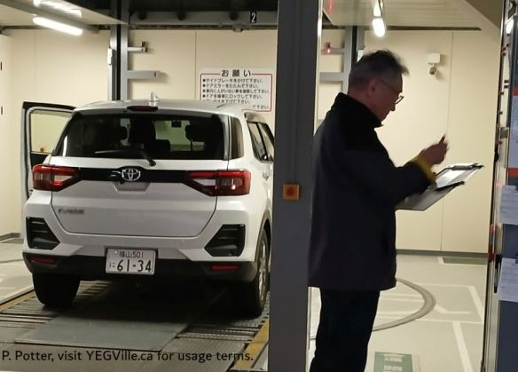
Helgas and Car Elevators
Because space is at premium, Japanese cities are dotted with automated car elevators. The one behind the Daiwa Roynet Fukuyama was probably 20 stories high. An impressive feat of engineering that Helga had no hope of fitting into. She was regulated to an old fashion street parking location.
Reconning With Helga
An advantage of having a van is the ability to drive the routes, get a sense of the pathways, and answer a few questions like… how do you get onto that causeway 50M above our heads?
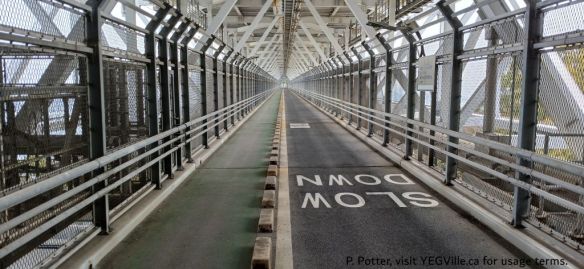
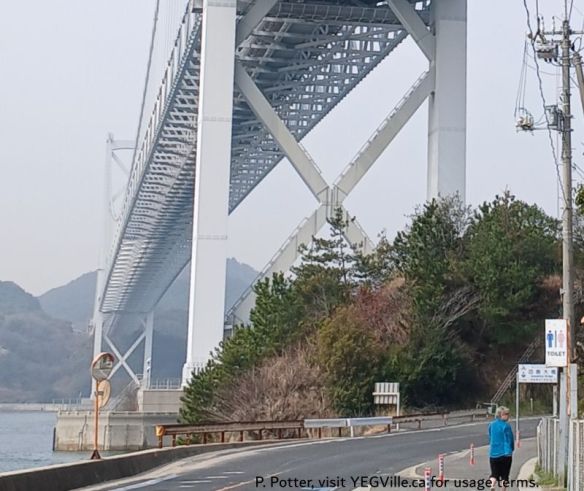
Danielle and I completed two days of reconnaissance and the largest challenge of how to get onto the first bridge, the Innoshima [1]. Taking six years to construct, it was opened in 1983. In addition to four lanes of vehicle traffic, it includes a cycling path below the decking. To get to the decking, you need to climb up to it from the water level; an elevation gain of about 50M. On the first day, we missed the access sign but found it on the second.
From there we went to… ummm, I don’t really know. One of the challenges of driving on a different side of the road with Japanese character signs is that you entirely rely on your navigator to make the turns. Suffice to say, Danielle got her questions answered and we got a glimpse of what to expect on the ride. Now onto the first full day of riding, but not before a few reconn-photos.
Photo Gallery
The massive Innoshima bridge with the cyclist causeway underneath it, 2026-03-30, P. Potter. 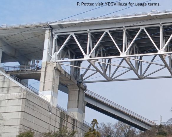
Cyclist causeway beneath the Innoshima bridge, 2026-03-30, P. Potter. 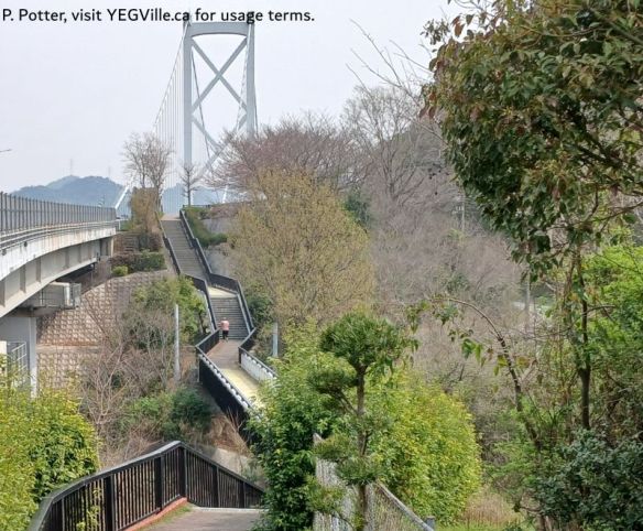
Looking North toward the Innoshima bridge, 2026-03-29, P. Potter. 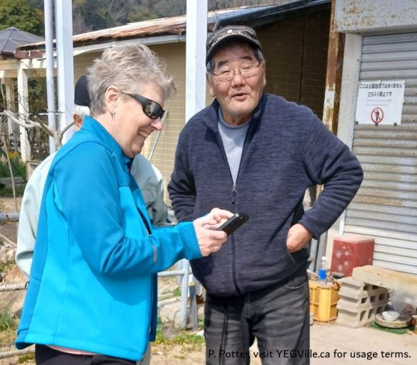
Danielle using local knowledge to find the access point to the cyclist Innoshima bridge, 2026-03-30, P. Potter. 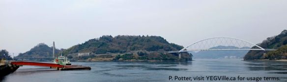
The Yutaka Sea Station (ferry) with Heira (left) and Nakanoshima Islands in the background, two of the three bridges visible, 2026-03-30, P. Potter. 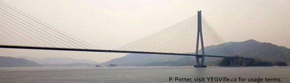
Tatara Bridge, Japan, 2026-03-29, P. Potter. 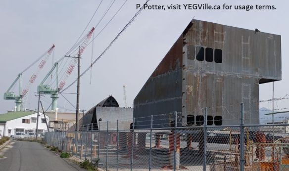
One of many ship building yards in the area, 2026-03-29, P. Potter. 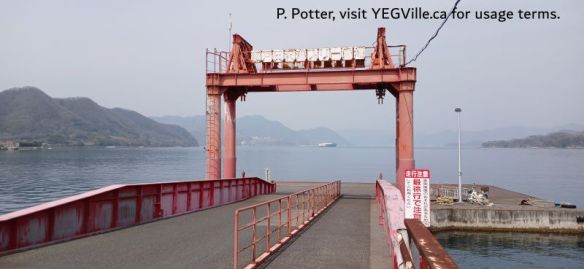
Small, medium, and large ferry transportation is still a pillar of transportation in Japan, 2026-03-29, P. Potter. 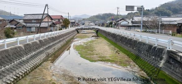
A typical vignette of a suburban area through which the cycling route travels, 2026-03-29, P. Potter. 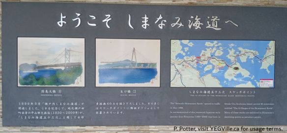
Water colour panels decorating the Shimanami Kaido cycling route, 2026-03-29, P. Potter. 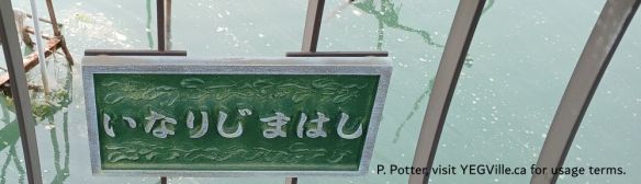
Bridge placard, Japan, 2023-03-29, P. Potter. 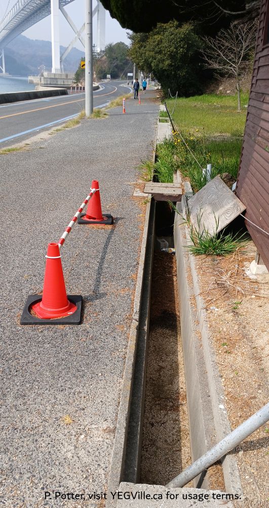
Open gutters to direct rain water are a definite hazard while cycling the route, 2026-03-30, P. Potter. 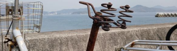
Abandoned Bike, Ikuchijima Ferry Terminal, 2026-03-29, P. Potter. 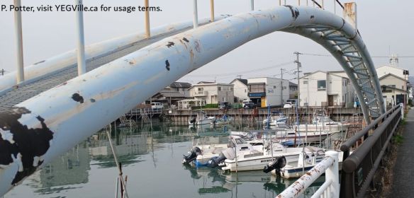
Coastal vignette of water, homes, and industry, 2026-03-29, P. Potter. 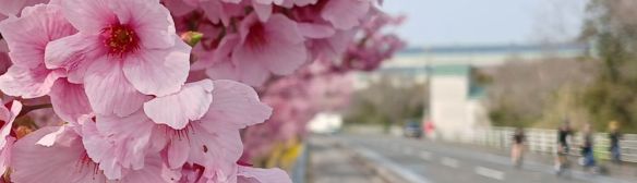
Cherry blossoms and cyclists, Japan, 2026-03-29, P. Potter. 
Citrus Park Setoda, cherry blossoms, 2026-03-29, P. Potter. 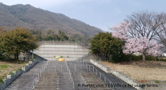
Citrus Park Setoda, very pleasant, a killer climb up, not part of the bike tour, 2026-03-29, P. Potter. 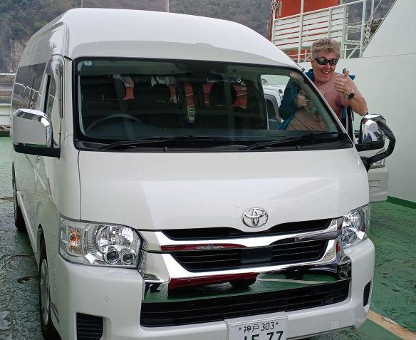
Helga’s first boat ride (Danielle is excited too), 2026-03-30, P. Potter. 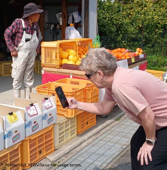
Danielle buying oranges for the group, near Ikuchijima ferry terminal, 2026-03-29, P. Potter. 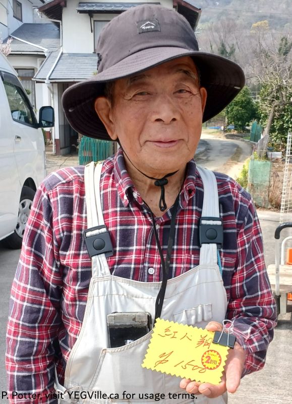
Danielle receipt for buying oranges for the group, near Ikuchijima ferry terminal, 2026-03-29, P. Potter. 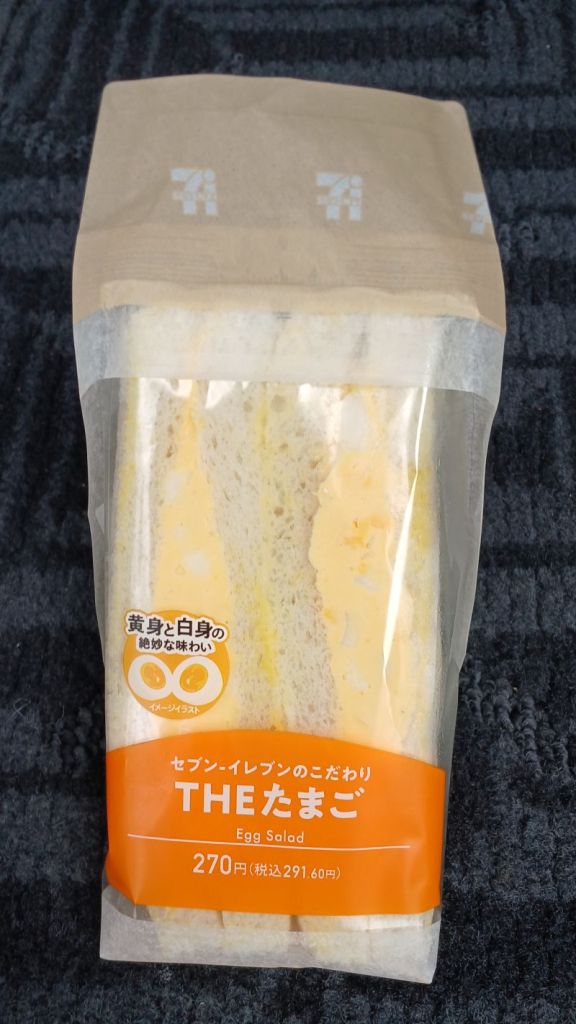
The much lauded egg salad sandwich from a Japanese 7/11, 2026-03-29, P. Potter.
