
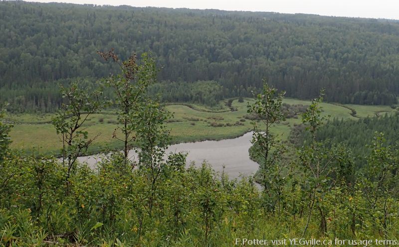
Enveloping the northern portion of Battle Lake, the mount lives up to its name with a pleasant view of the lake. ATV trails is mostly respectful with limited destruction.
Trail Up to the Mount
This NA lies south of township road 463A. I accessed the southeast corner where there is a well marked trail leading up to the mount. The trail is an ATV track initially runs south of the natural area on private property and then hooks north. A dilapidated log structure is near the trail head.
Small Lake lies roughly northeast with a stream running from it into Battle Lake. The trail has glimpses of this lake and an ad hoc bridge crosses the connecting stream. The ATV track is generally dry and in good shape making it excellent for walkers.
Trail Splits Halfway. The ATV’ers seem to take the shorter but steeper route up the hill. The longer route is nicer and becomes a single track toward the top. Despite this well defined trail, not much recently motorized activity was observed.
Pleasant View. The view is very nice. Not mountain stunning but pleasant. A bench dedicated to Verner Stig Loov was installed in 2010 (and seems to be weathering its vantage point very well).
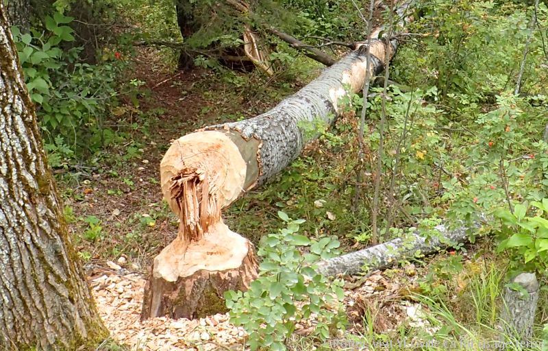
Risk of Use and Abuse. Although I had the hill to myself, a search of hiking sites suggests that the NA can be come infested with ATV’s and the trail relatively impassible with the muddy holes they create. At the top of the hill, there is an ad hoc fire pit as well as a tarp draped between two trees. The latter did not look like it was used for sleeping, perhaps it was set up to keep things out of the recent rains.
Road Observation of the NA
Driving west along the gravel 463A township road, a number of Quad access points were noted. A few weathered natural area signs persist. Based on this road survey, limited human disturbances. The beavers however have been busy creating an impressive dam on Battle Creek!
Any maps and map views are for general information only. Do not rely on them for navigation or to determine legal boundaries.
The Fast Facts
- Winter Challenge Category: ADVENTURE. The climb up the hill and the creek crossing would make this challenging with some risk in the winter for snowshoeing or walking.
- Worth the hike up the hill, combine with other adventures in and around Pigeon Lake.
- No Washrooms
- Kids can do the trail and would probably enjoy the view as well as water crossing.
Area Details
- Name/Owner: Provincial Order in Council and Protected Notation Natural Area.
- Is it Worth It and Why Go Here?:
- 4/5: Not sure it is worth the drive by itself from Edmonton but definitely if one is in the Pigeon Lake area for a few days.
- Map Reference, Location and Wayne Gretzky Units: 78.496km
- Central Alberta Backroads Map Book, p. [NAME] (p. 99), Cell [A9].
- 52.98646, -114.23366.
- Trail Classification: Overall (out of 5): 4; Overall Trail Rating: 24;
- Access: Granted, Crown land extends to the road;
- Develop: Limited Development;
- Maint: In Disrepair or Abused;
- Season: All Season: Winter caution
- The Drive Out: Township road 463a is gravel and there parallels Battle Lake. Very quiet and a pleasant drive. Likely less so in the winter or after a good rain storm.
- The Other Shoe: Fat biking, walking, botanical pursuits.
- Kid Rating: Kids can do the trail and would probably enjoy the view as well as water crossing.
- Frank’s Trip Notes
- First done: Mount Butte Natural Area – 2023-09-07 Weather: Warm but with smoke Haze.
(On smart phones, swipe to advance the pictures)
Beavers doing what beavers do best. A large dam has been built on Battle Creek just ouside of the NA. 
ATV ingress… next to the NA Boundary sign, Mount Butte NA OC. 
ATV Tracks into the Mount Butte OC NA from twp rd 463a. 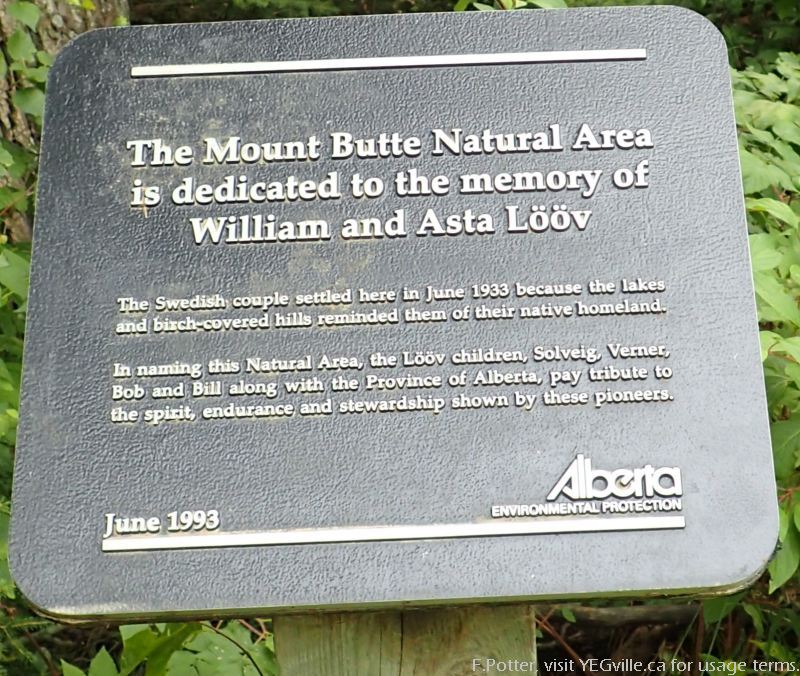
Plaque on the side of twp rd 463a dedicated to the Loov family. Mount Butte NA. View from atop Mount Butte, August 20, 2023 (F.Potter) 
Arm rest of a memorial bench to Verner Loov. 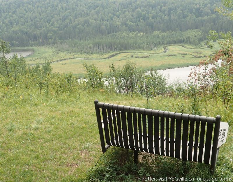
View from atop of Mount Buttte. Memorial bench to Verner Loov in the foreground. 
ATV Tracking devolving into a single track, Mount Butte NA. 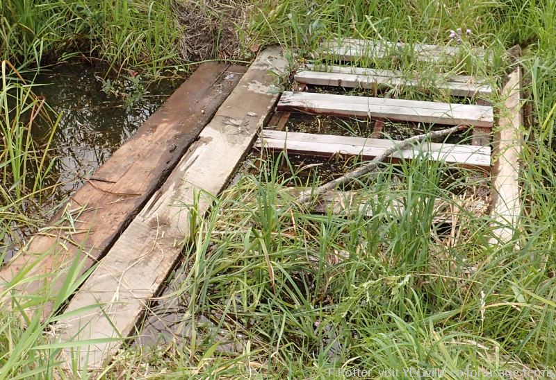
Ad hoc bridge across the creek joining the smaller lake to the northeast with Battle Lake. 
Example of the ATV tracking through the Mount Butte NA. 
Fire pit at the top of Mount Butte. 
Temporary structure strung up at the top of Mount Butte. 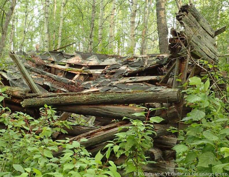
Dilapidated log structure near the southeast entrance. 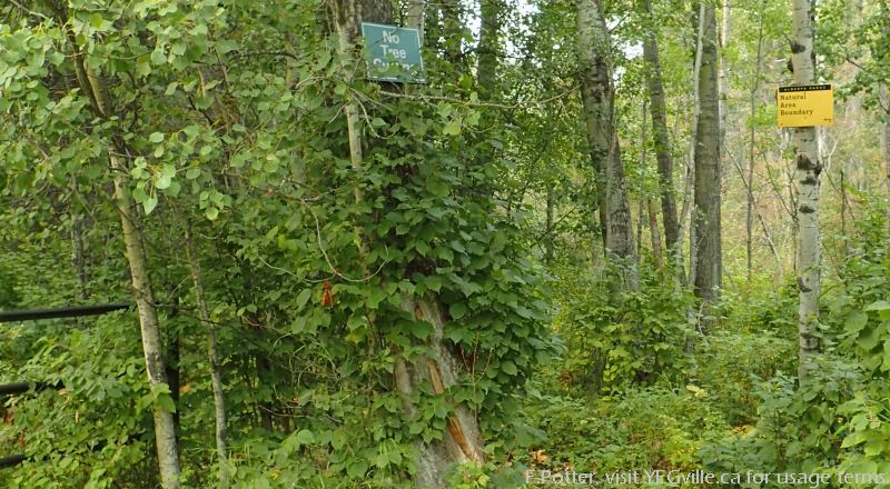
Trail entrance to Mount Butte, south east corner from twp rd 463a. 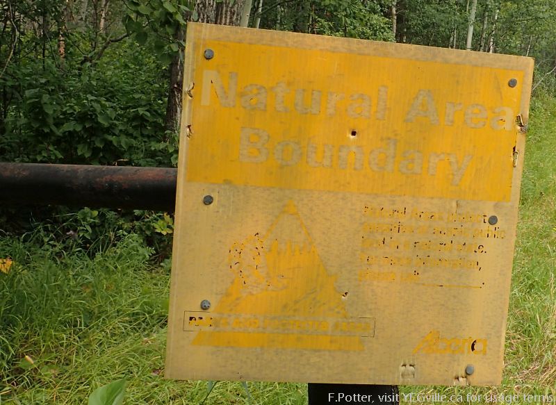
One of the numerous and now faded signs in the NA. 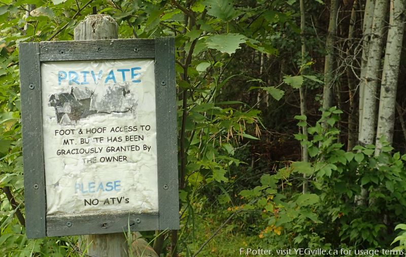
Private property notice at the southeast entrance of the site… next to the ATV tracks! 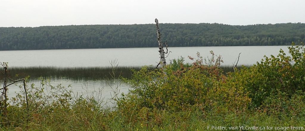
Looking west across Battle Lake from twp rd 463a, about half way up the lake.
Notes and Reference
- Verner’s bench at Mt Butte, Familysearch.org, accessed 2023-09-07.
Usage: This site is intended for my personal use only and very select invited guests. My recommendation is for you to stay in bed with the covers pulled firmly over your head.
