
<<< Hastings East – WTA Guide Book: Beaver Hills Section – Blackfoot Section >>>
In 1992, we made our very direct connection from Hastings to the Blackfoot. It hits the Blackfoot trail system at a spot where we have the option of going west to Wanisan or east to Islet Lake.
For your first trip, you could do the Allen Nature Trail (see previous page), then drive up to A96 and walk up to A97 and back for a nice afternoon stroll – or, you could do the Allen Nature Trail and drive up to A98 and walk over to the Siksika Trail and go left along it – OR, you could drive directly to A98 and hike in the Blackfoot Area.
Access:
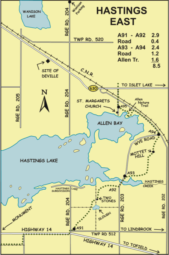
Take the Wye Road from Sherwood Park. Soon it bends to run parallel to the CNR. When you reach Range Road 205, look at the map on the next page. You should have no trouble finding the five parking spots.
A95 is on the roadside near the church. At A96, don’t block field entrances. At A97, make sure you park north of the township road. South would interfere with landowner access. At A99, park a few metres north of the corner of the range road and the farm entrance but do not drive up the wooded alley.
Trail Details:
From A95, go north on the road and cross the busy CN track. At A96, get onto our path through a wooded, unused road allowance. Two short, field-edge detours are used to dodge wet spots. At A97, continue north, this time on a grassed-over road. Nod to the curious cows in the neighboring pasture.
At A98, a stile gives access to the Blackfoot. A short path takes you to our fence ladder over the Blackfoot Area’s high ungulate fence. It so happens that a few steps past the fence ladder there now is a device that you can squeeze through.
Trail Map:
Natural History Note: Before you reach the high fence is a bog featuring water calla (Calla palustris). This plant is considered poisonous as all parts of the plant contain calcium oxalate crystals. The crystals can cause severe irritation to mouth and throat of humans.
Across the high fence take care with your route-finding. Go north a short distance along the fence. At the first fence corner, move away from the fence to find an old road going east to a junction (B) with the Siksika Trail. Once on the Siksika, you are on wide trails having location maps at each junction.
Photos from this Section(s)

Mud puddle in the ATV track running along the South boundary of the site, Pembina River – Moon Lake NA (South), 2025-07-15, P. Potter. 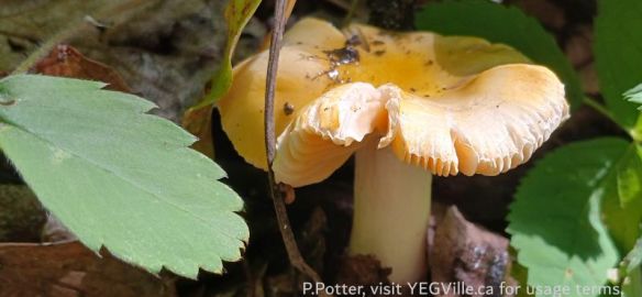
Brittlegills Genus Russula, Bigoray NA, 2025-07-15, P. Potter. 
European Skipper Thymelicus lineola, Bigoray NA, 2025-07-15, P. Potter. 
Posted sign on the adjoining property, Pembina River (South), 2025-07-04, P. Potter. 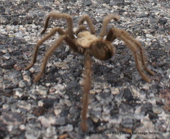
Spider, Red Rock Canyon, 2014-11-01, P. Potter. 
An interesting rock if only because of the red seam cutting across it, 2025-05-28, Wilson Creek NA, P. Potter.
